The Yaqué de Norte River Commission (CRYN), in coordination with the National Institute of Water Resources (INDRHI), initiated in 2019 the steps to develop a Pilot Project for the Management of the Guayubín River Sub-basin, which could be replicated in other sub-basins of the CRYN. This initiative, financed by USAID and being executed by the United States Army Corps of Engineers (USACE), is based on the implementation of the Shared Vision Planning methodology. This process will serve as the input to the digital hydrologic planning program to design scenarios on the behavior of flows and, in general, water availability in the sub-basin. Planificación con Visión Compartida. Este proceso servirá de base para alimentar el programa digital de planificación hidrológica para diseñar escenarios sobre el comportamiento de los caudales, y en general, la disponibilidad hídrica en la subcuenca.
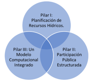
Shared Vision Planning (SVP) is a collaborative approach to formulating water management solutions that combines three disparate practices: 1) traditional water resources planning, 2) structured public participation, and 3) collaborative computer modeling. While each of these elements have been successfully applied, what makes PVC unique is the integration of traditional planning processes with structured public participation and collaborative computer modeling.
The goal of Shared Vision Planning is to improve the economic, environmental, and social outcomes of water management decisions. SVP facilitates a common understanding of a natural resource system and provides a consensus-based forum for stakeholders to identify trade-offs and new management options. SVP creates computer models that are easy to use and understand, relevant to stakeholder interests, and adaptable to changing conditions.
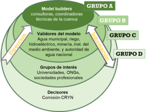
SVP involves stakeholders from the beginning of planning and technical analysis. Instead of engaging the entire public through open forums, SVP uses circles of influence to conduct stakeholder outreach in a variety of formats and levels of intensity.


The objective of the pilot project is that the goals, programs and projects to be implemented will be translated into a computer language to generate modulated scenarios of the actions of all the entities and associations with an impact on the Guayubín territory in order to make resources and decision-making more efficient for the sustainability and management of the sub-basin as a model for the Management Plan.
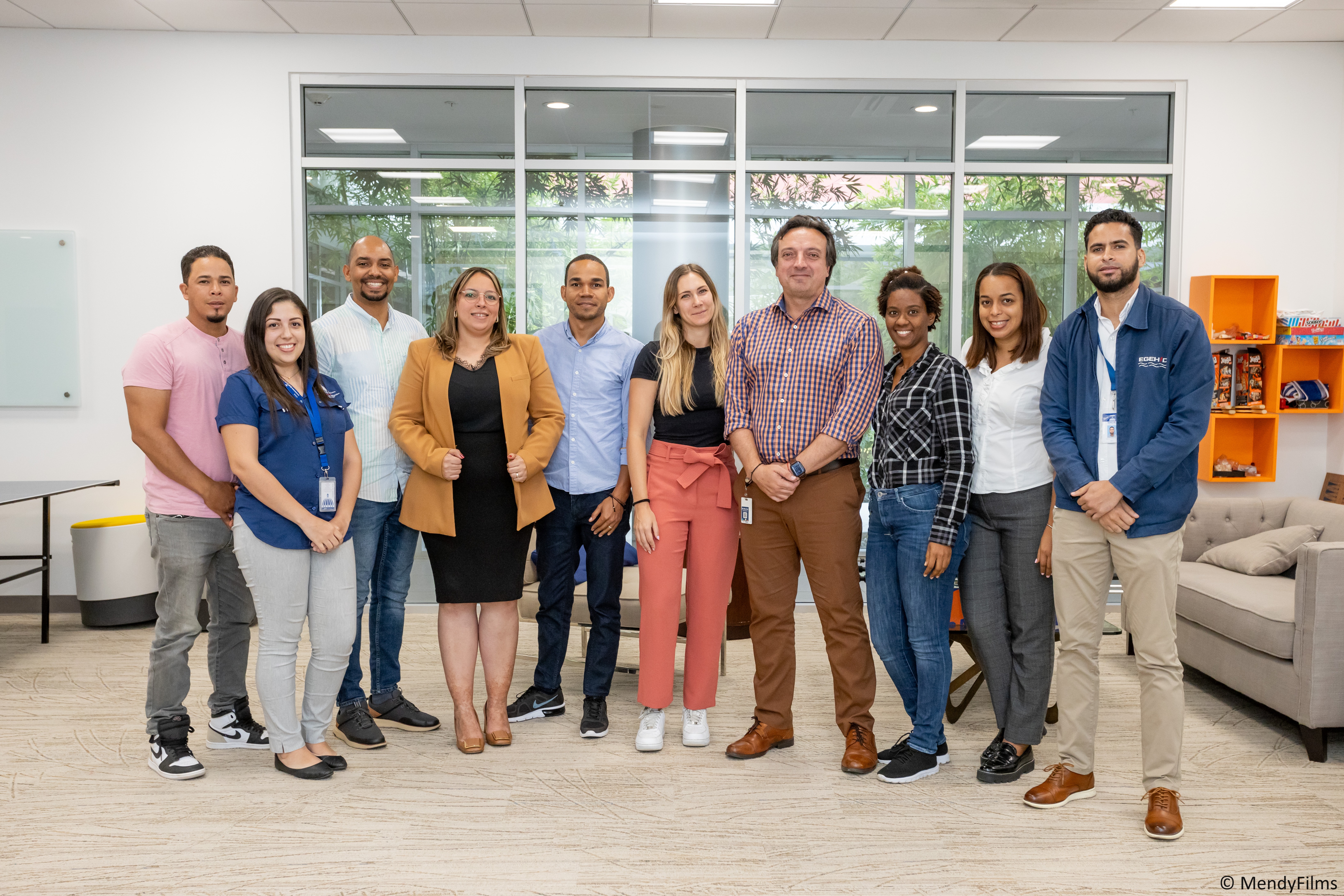
As a first achievement, a hydrological model and decision-making interfaces were developed in Excel. To ensure sustainability and to be able to extend the methodology to other basins, the HydroBID Support Center (CeSH) is collaborating with CRYN and USACE in the development of a connection between the Excel and HydroBID Alloc interfaces that will facilitate hydrological modeling and allow the generation of scenarios of actions by all stakeholders. At the end of August 2023, the first HydroBID Alloc training workshop was held for Group A, which groups the technical coordinators in charge of scenario development activities, with the participation of Plan Sierra, the National Institute of Hydraulic Resources (INDRHI) and the Pontificia Universidad Católica Madre y Maestra (PUCMM). During the workshops, the technicians had the opportunity to learn about the capabilities of HydroBID Alloc and to carry out an application in the Guayubín River sub-basin. In the next stages, group A will begin to develop the necessary scenarios for the planning processes within the SVP processes led by USACE.

